


Lot n° 84 | Auction 649
Estimate € 1,000 - 1,500
Sold € 900
Auction: 27 February 2024 at 15:00
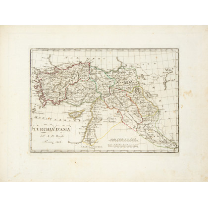
BORGHI, Bartolomeo (1750-1821) - Atlante generale corredato di prospetti istorici, politici, civili, naturali di ciascheduno stato. Florence: pubblicato a spese di Rosa Parigi e del cav. Giulio Cesare Bertolini, 1819. The renown atlas by Borghi, "one of the best geographers in Europe", with maps handcoloured in outline. The work is important as it illustrates the geo-political structure of Europe established by the Congress of Vienna and shows the territories of America, Africa and Oceania mapped at the time. Oblong folio (345 x 475mm). Engraved title, 2 engraved plates and 134 (of 135?) maps handcoloured in outline and interleaved with 35 (of 36?) pages of descriptive text, 3 manuscript index leaves at end (according to manuscript index it is lacking author's portrait at leaf 2, the map of Europe at leaf 10 and a second prospect of Britain at leaf 28, some foxing and browning, some staining, restorations on margins of title without losses, some scribbles in pencil). Modern half calf with gilt title on spine. Provenance: some contemporary annotations. The composition of the atlas varies and it is therefore sold as not subject to return.
Estimate € 1,000 - 1,500